Wildfire alerts per location, automatic and by e-mail
FireWatch Locations monitors a configurable radius around every campsite, holiday park, estate or installation your organisation operates, day and night. When satellites detect fire inside that radius, your teams automatically receive an alert e-mail: which site, how far, in which direction and how large.
The problem
Your guests sleep in the forest. That is the product, and the risk.
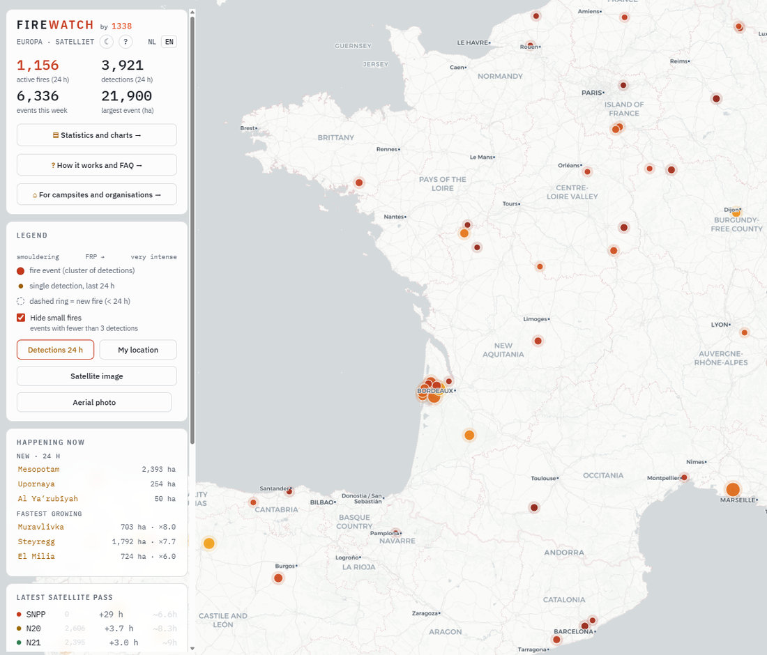
Outdoor hospitality sells nature: campsites among the pines, lodges on a lake, grounds in the hills. That same setting makes organisations with dozens of outdoor locations structurally exposed to wildfire. Recent summers have shown this is no longer an incident but a seasonal pattern, from Portugal to the Peloponnese and from the Gironde to the Dutch borderlands.
During an incident the operational problem is rarely the fire itself, but information. Where exactly is it? Is it moving towards us? Official channels lag, news reports are vague about locations, and head office sometimes hears it later than the guests do.
How it works
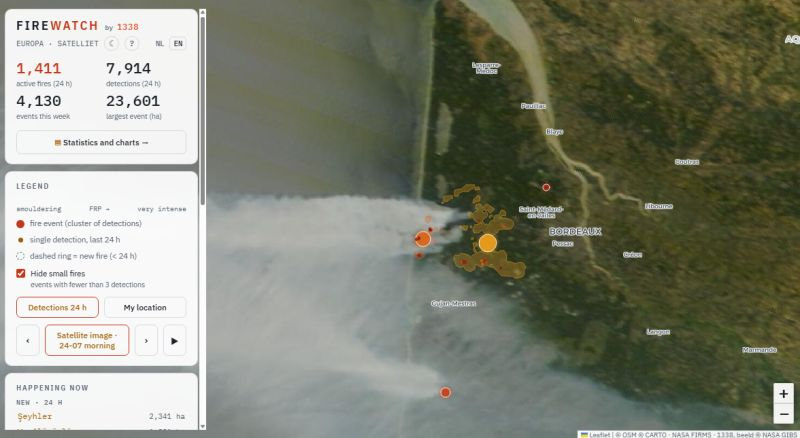
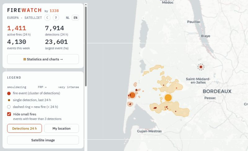
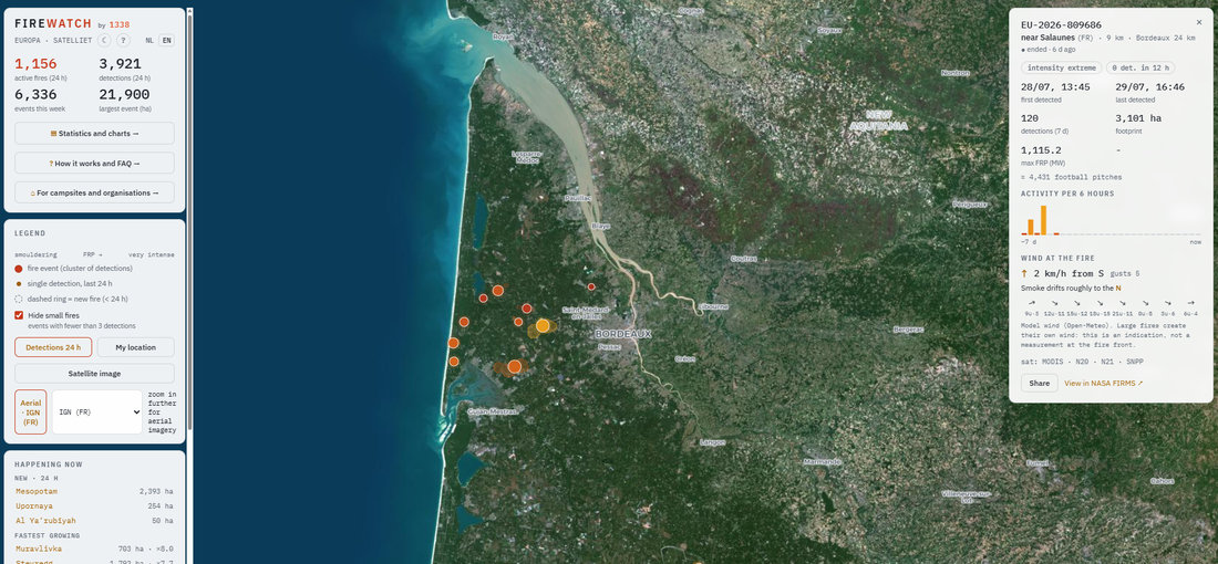
FireWatch places an alert radius around every location, for instance 30 kilometres. Five satellite sources measure heat radiation at the surface: VIIRS on Suomi-NPP, NOAA-20 and NOAA-21, MODIS, and the geostationary Meteosat that refreshes large fires every fifteen minutes. Individual detections are clustered into fire events with extent, intensity and a timeline.
Alerting is computed per site using the edge distance of the fire, not its centre: a thousand-hectare fire whose edge touches your radius counts as inside it. New fires typically appear in the system within half an hour to three and a half hours of the satellite overpass.
What you get
- E-mail alerting
- Within one cycle of satellite data arriving, with re-alerts on clear growth or approach. Unlimited recipients.
- Daily digest
- One e-mail per day with the situation around all your sites, at a time you choose.
- Dashboard
- Top sites at risk, sortable distance table, distance history per site and the full alert log.
- Dedicated map view
- A shareable live map with your locations, your logo and live alert status per site. Suitable as a wall display at a reception.
- Noise control
- Configurable thresholds, per-alert muting and multi-layer filtering of industrial heat sources.
- Seven languages
- Alerts and dashboard in Dutch, English, French, Spanish, Portuguese, Italian or Greek, configurable per client.
Who it is for
Any organisation with assets, installations or people spread across sites outside the built-up area. Wildfire is not only a recreation problem: smoke and heat along a railway line or transmission corridor halt traffic and supply, a fire near a mast site can take down coverage for an entire region, and a site that has to be evacuated costs a day of revenue. Knowing earlier that something is burning nearby means you can divert, scale down or evacuate on your own terms instead of under pressure.
Honestly: what satellites cannot do
We do not sell false certainty. Polar satellites pass a few times a day; between two overpasses only Meteosat is watching, and it only sees large fires. Heavy cloud or thick smoke can block the view, and a very small or very brief fire can stay below the detection threshold.
FireWatch is therefore a powerful additional safety net and an information advantage, not a replacement for official alerting, local observation or your own safety protocols. That same honesty is printed on our public map and in the explanation.
What it costs
A fixed amount per location per month, on a tier that decreases as you monitor more locations. Everything is included: alerting, daily digest, dashboard, map view, maintenance and support. No setup fees, cancel monthly. A quotation follows based on the number of locations and the alert channels you need.
First month free pilot
Full functionality, all your locations, no commitments. You supply a list of locations (name plus coordinate or address) and we configure the dashboard, alerting and map view the same day.
Request a pilot via hallo@1338.nlFrequently asked questions
How quickly do I get notified after a fire breaks out?
How many false alarms will I get?
Does this work outside Europe?
How is our location data handled?
Can we integrate it with our own systems?
Is FireWatch an official alerting system?
About 1338
FireWatch is a service by 1338, Rutger Harder's consultancy for automation, integrations, custom software and security. FireWatch was created after an evacuation from a campsite near Carcans in July 2026 and has since been developed into a system that refreshes all of Europe every fifteen minutes.